Bonnet Carre Spillway
15 mi west · US Army Corps of Engineers
Over the years, the Bonnet Carre Spillway has developed into an extensively used outdoor recreation area with approximately 250,000 visitors enjoying the spillway each year.
Outdoors
National forests, parks, lakes and recreation areas with hiking trails near Metairie, closest first.
Good to know: Carry more water than you think you need, check the managing agency’s page for trail closures and fire restrictions, and start early on hot days.
15 mi west · US Army Corps of Engineers
Over the years, the Bonnet Carre Spillway has developed into an extensively used outdoor recreation area with approximately 250,000 visitors enjoying the spillway each year.
20 mi east · Fish and Wildlife Service
Bayou Sauvage Urban National Wildlife Refuge, established in 1990, contains a variety of wildlife habitats, including patches of bottomland hardwood forest; freshwater, brackish and estuarine tidal marshes; lagoons; canals; and natural…
27 mi northeast · Fish and Wildlife Service
Big Branch Marsh National Wildlife Refuge, established in 1994, is located along the north shore of Lake Pontchartrain between the towns of Mandeville and Slidell, in St. Tammany Parish, Louisiana.
Map of 16 places loads as you scroll.
Over the years, the Bonnet Carre Spillway has developed into an extensively used outdoor recreation area with approximately 250,000 visitors enjoying the spillway each year.
Bayou Sauvage Urban National Wildlife Refuge, established in 1990, contains a variety of wildlife habitats, including patches of bottomland hardwood forest; freshwater, brackish and estuarine tidal marshes; lagoons; canals; and natural…
Big Branch Marsh National Wildlife Refuge, established in 1994, is located along the north shore of Lake Pontchartrain between the towns of Mandeville and Slidell, in St. Tammany Parish, Louisiana.
Bogue Chitto National Wildlife Refuge, established in 1980, straddles the borders of Louisiana and Mississippi, bisected by the Pearl River.
Mandalay National Wildlife Refuge conserves and protects freshwater marshes in western Terrebonne Parish in south–central Louisiana. The refuge's freshwater marshes attract thousands of migratory waterfowl.
Breton National Wildlife Refuge is comprised of a sixty-mile long crescent of barrier islands, including Breton Island and the Chandeleur Islands, in the Gulf of Mexico, south of Gulfport, Mississippi and east of New Orleans.
Our country’s landscape is rich and mysterious. It is filled with twisting bayous, rivers and America’s largest river swamp. We have fields of sugar cane and cotton, ancient live oaks and towering cypress.
Located in the heart of the “Cajun Coast,” Bayou Teche National Wildlife Refuge, established in 2001, sits along Bayou Teche, an ancient channel of the Mississippi River.
Davis Bayou Campground is located east of downtown Ocean Springs, Mississippi, and is a part of Gulf Islands National Seashore. Visitors enjoy the campground for its easy access to boating, fishing, biking and hiking trails.
Cat Island is located near the town of St. Francisville, Louisiana, 30 miles north of Baton Rouge.
The Mississippi Sandhill Crane National Wildlife Refuge was established in 1975 under authority of the Endangered Species Act to protect the critically endangered Mississippi sandhill cranes and their unique, and itself endangered, wet…
Atchafalaya National Wildlife Refuge, established in 1984, is located in the floodplain of the Atchafalaya River, a tributary of the Mississippi that flows into the Gulf of Mexico.
This location is available on a first-come, first-served basis only. Visitors are required to physically arrive at the campground to purchase and claim a site.
The project encompasses 595,000 acres of the largest contiguous tract of bottomland hardwoods in the United States. The Atchafalaya Basin is a scenic semi-wilderness area of hardwood forests, cypress stands, marshes and bayous.
Louisiana's Old River is a distinctive river with a remarkable history. Fifty miles northwest of Baton Rouge, it connects the Atchafalaya and Mississippi Rivers.
Lake Ophelia National Wildlife Refuge was established in October 2000 with the purpose of conserving and restoring habitat for migratory birds, aquatic resources, and endangered plants and animals. The Refuge consists of 17,500 acres.
Distances are straight-line miles from downtown Metairie. Listings come from Recreation.gov’s federal recreation database; check each official page for hours, fees, fire restrictions and closures before you go.

A DRIVE AROUND TOWN
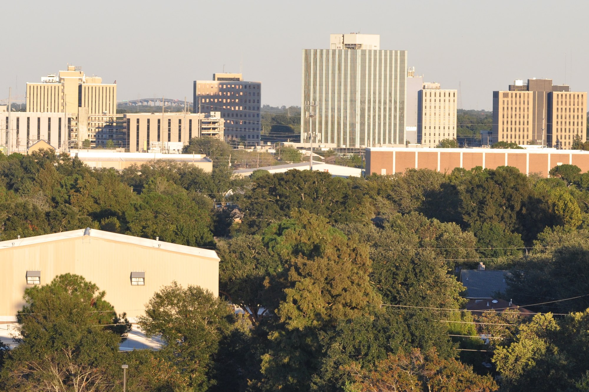
Metairie - Louisiana - 4K Downtown Drive. A film shared by Mileage Mike Travels.
Watch on YouTube ↗Bonnet Carre Spillway (US Army Corps of Engineers), about 15 miles west of Metairie as the crow flies. Next are Bayou Sauvage Urban National Wildlife Refuge (20 mi) and Big Branch Marsh National Wildlife Refuge (27 mi).
Based on Metairie’s average highs, October–April. Conditions at higher elevations can be much cooler.
Federal agencies including Fish and Wildlife Service, US Army Corps of Engineers, National Park Service. Each listing links to its official page for hours, fees, closures and current conditions.